Land Surveyor Portfolio – Shrishila Loni
5+ years of experience in land surveying, topographic surveys, pipeline and infrastructure projects across highways, wind power, oil & gas, and utility works.
Shrishila Loni
Land Surveyor with hands-on experience in topographic surveys, route alignment, GIS, and construction layout for roads, wind projects, pipelines, and utility networks.
Contact: 7676656255
Email: shrishailloni2000@gmail.com
Key Expertise
- Topographic & route surveys (roads, pipelines, utilities)
- Construction survey for buildings, roads, bridges, substations
- Sewerage and pipe line surveys, storm water & irrigation layouts
- Setting out control points and site coordinates
- Detail drawing study & execution support at site
- Documentation and coordination with architects & engineers
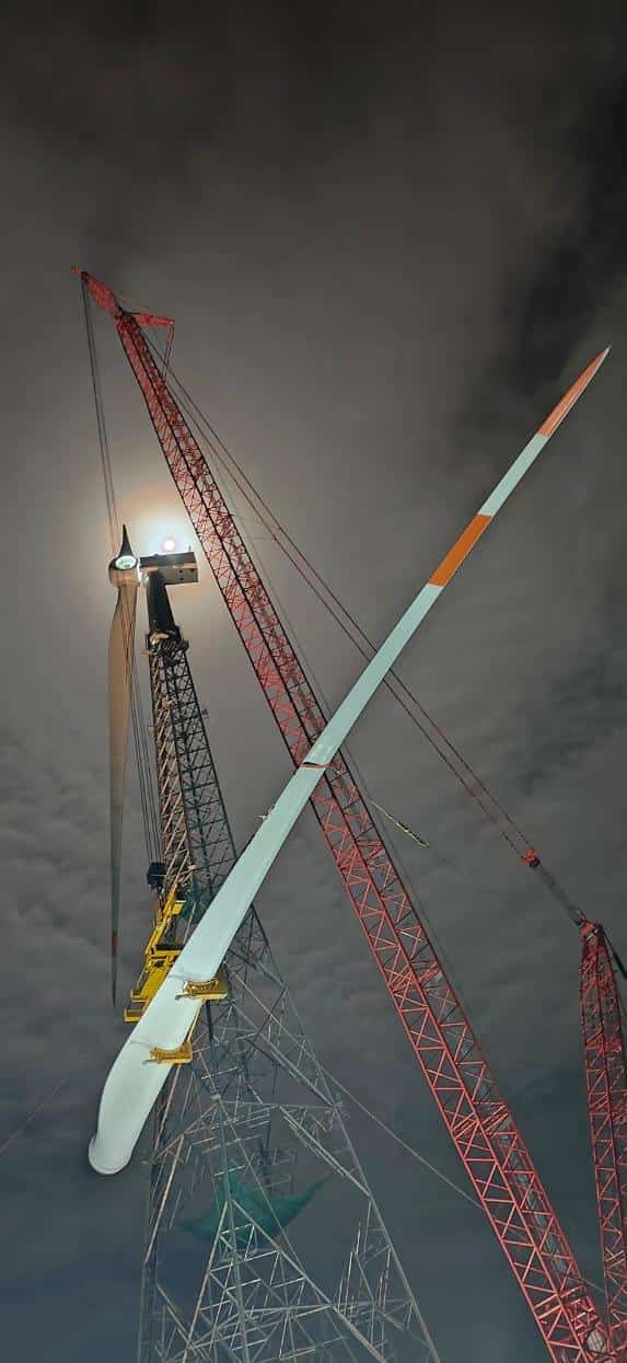
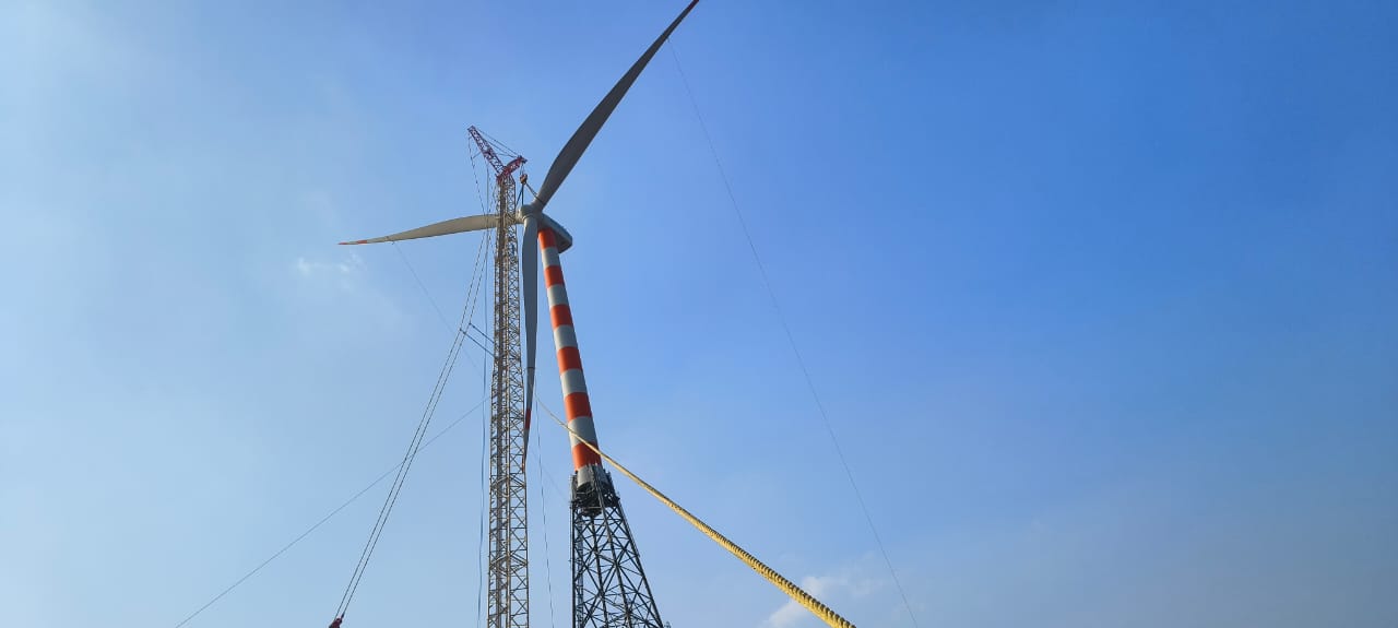
Land Surveyor – Wind Power Projects
Working primarily on wind power projects, handling land, legal documentation and technical surveys for WTG (Wind Turbine Generator) locations and associated infrastructure.
- Collecting and verifying land & legal documents (RTC, MR, EC, deeds, family tree, PTCL, tenancy, tax paid, etc.).
- Handling registrations: ATS, GPA, ATL, IGPA, sale deeds (Kaveri Online registration).
- Feasibility surveys for WTG locations, ROW (Right of Way) handling, pathway and government surveys.
- GPS/DGPS/Total Station survey work, NA conversion, 11E/Phodi/Alienation knowledge.
- 11 KV electrical survey for sub-station or PSS land.
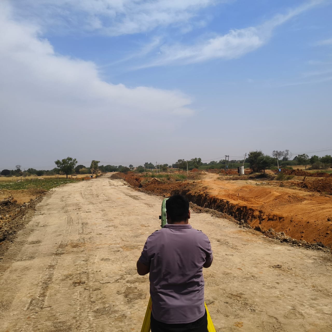
Land Surveyor – Highways & Infrastructure
Executed surveys for national highway and energy projects, ensuring accurate control and compliance with specifications.
- National Highway 80 – C&C Constructions Pvt. Ltd.
- National Highway 232 – Centrodorstroy India Pvt. Ltd.
- Control establishment & cadastral compilation for Tuppadahalli Wind Energy Plant (SECON Pvt. Ltd.).
- Detail survey & locating existing pipelines for MRPL pipeline (Bangalore–Mangalore).
- Coordinating with project managers; checking Total Station & leveling data; establishing control points.
Land Surveyor – BDA Land Audit
Responsible for accurate land and boundary surveys for Bangalore Development Authority (BDA) land audit work.
- Verifying survey data, measurements and calculations from field surveys.
- Establishing legal boundaries based on deeds, titles and existing records.
- Recording shapes, contours, elevations and property lines for mapping and documentation.
- Preparing and supervising data, charts, maps and survey documents.
- Coordinating findings with engineers, clients and contractors; conducting joint surveys with contractors.
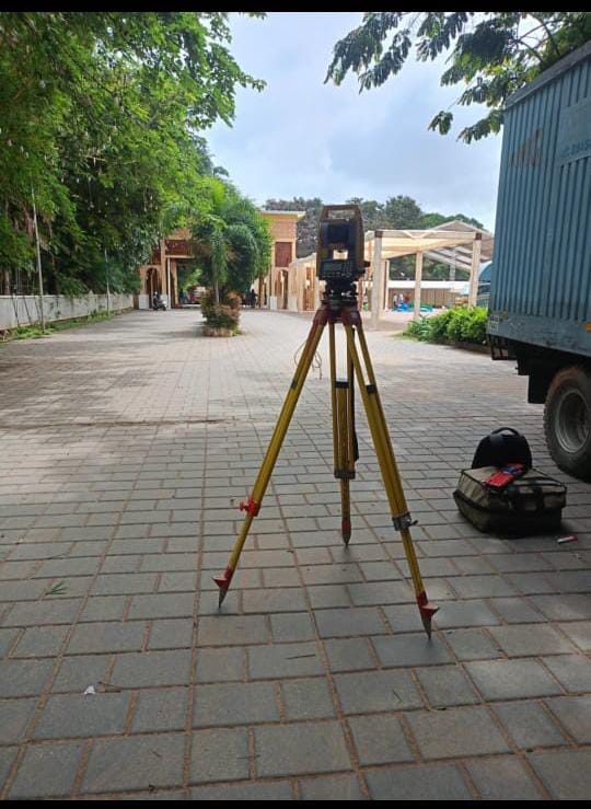
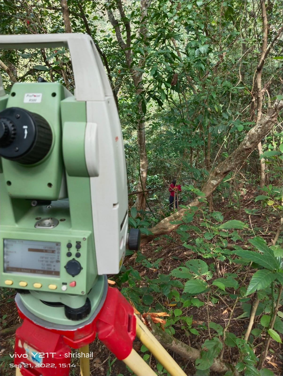
Tools Used
- Leica Total Stations: TC1102, TC1202, TC1205, 405 series
- Leica GPS: 1200, 500, 1200 GG – RTK, Fast Static, Static Survey
- Nikon Total Station: DTM 829, DTM 352
- Digital Level: Leica 2002
- Theodolite: NE 100, Garmin DGPS II & III, Sokkia 510, Topcon GTS
- Software: AutoCAD (Civil), Leica GPS software, survey data processing tools
Professional Goal
To build a challenging career with a dynamic organization where I can apply my technical skills and field experience in land surveying, contribute to high-quality infrastructure projects, and grow within the renewable energy and construction sector.
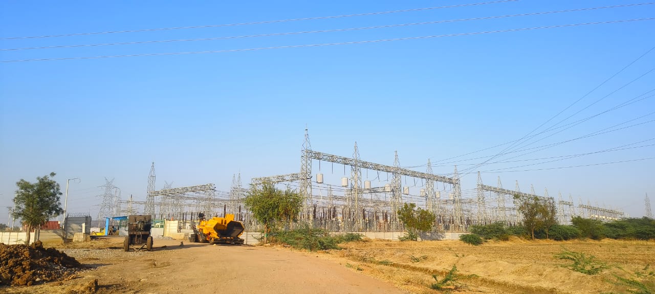
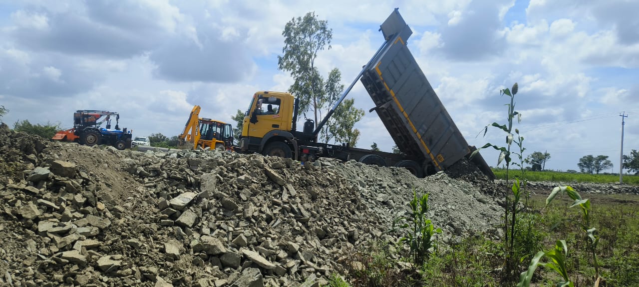
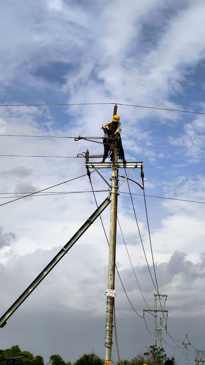
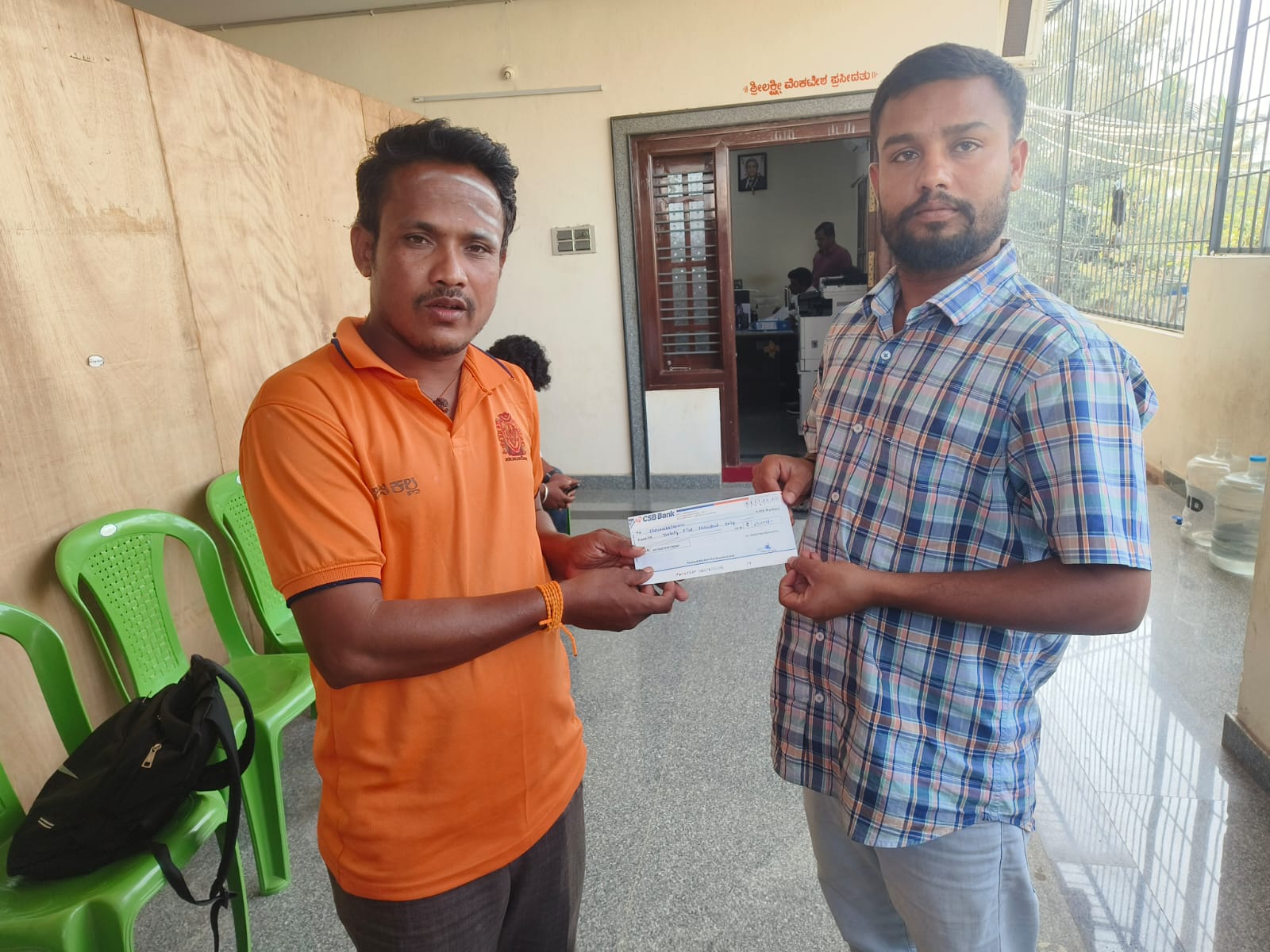
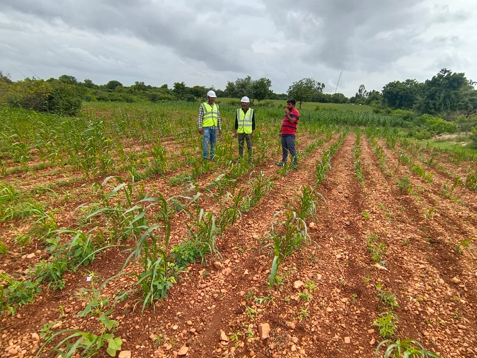
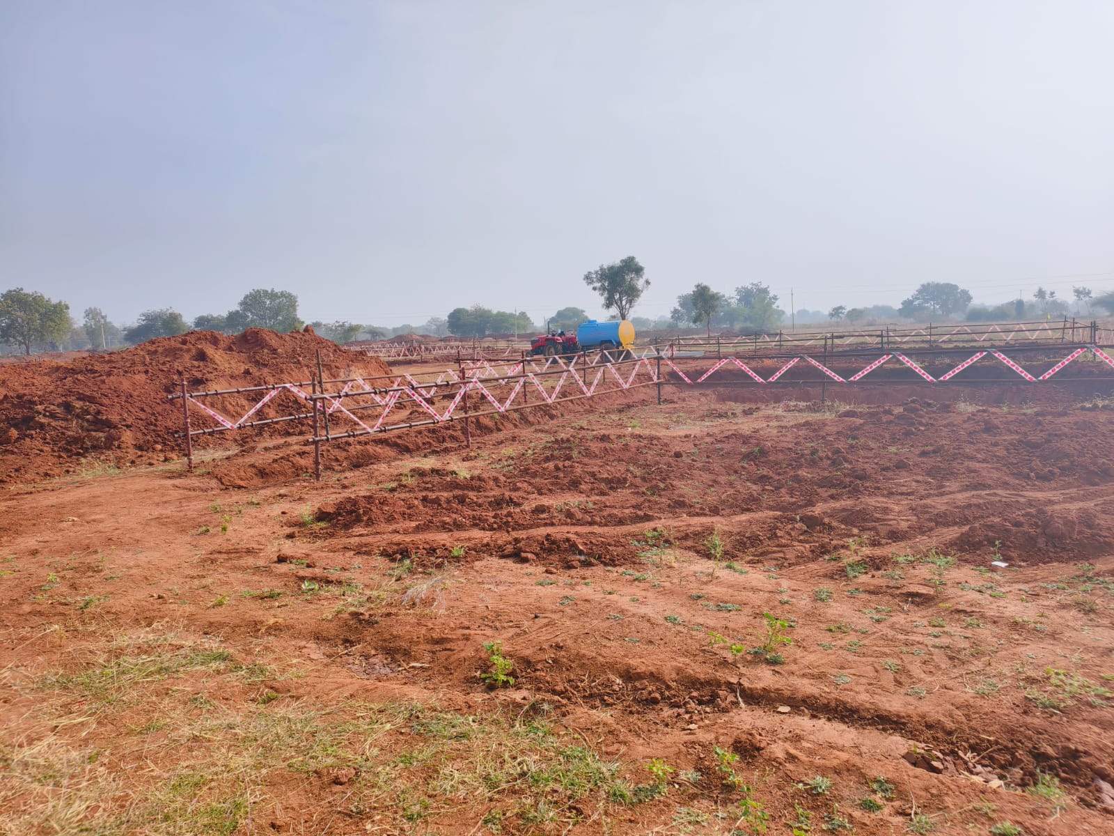
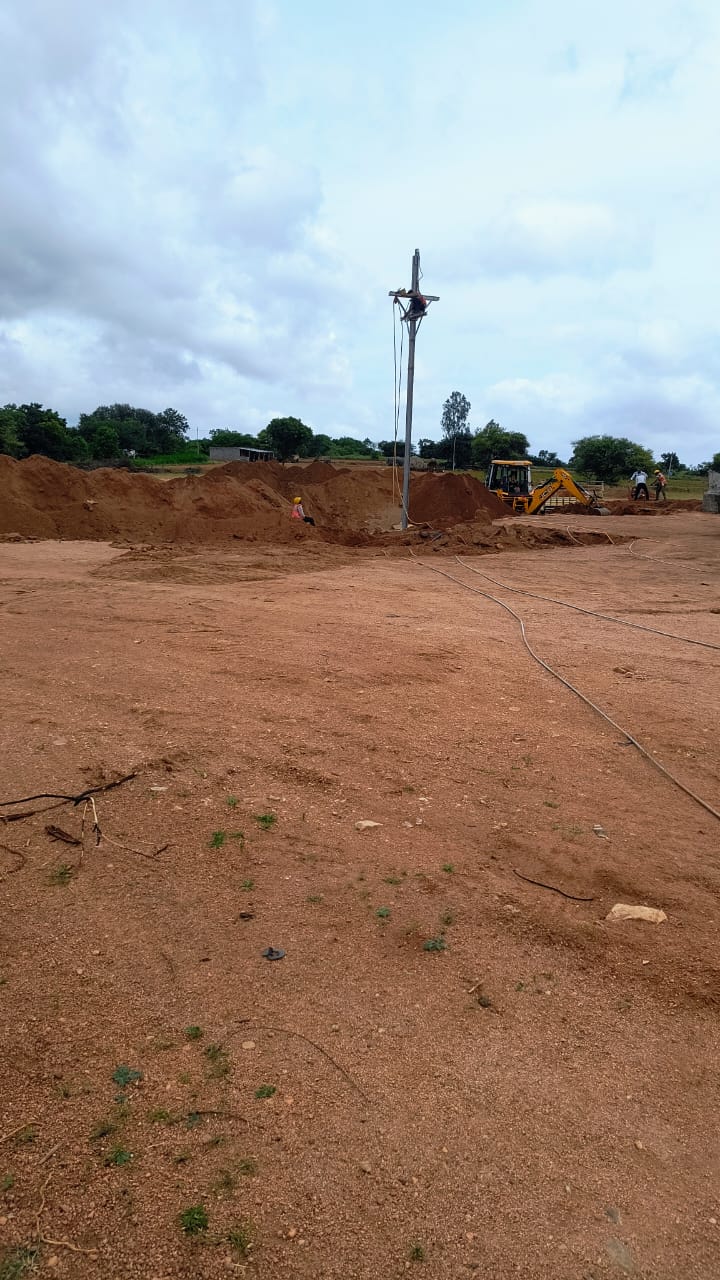
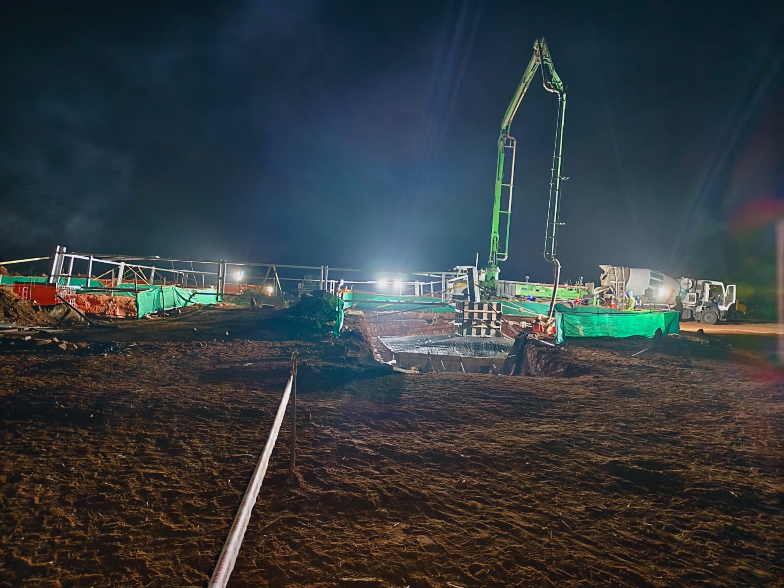
Photo & Video Album
A collection of our renewable energy projects, team in action, and community engagements
.jpeg)
.jpeg)
.jpeg)
.jpeg)
.jpeg)
.jpeg)
.jpeg)
.jpeg)
.jpeg)
.jpeg)
.jpeg)
.jpeg)
.jpeg)
.jpeg)